Group meeting and fieldwork on Vis island
The first week of september 2025 saw a series of meetings and field actions take place on Vis Island by all project partners.
Meeting in Split and visiting the SLU Hydrotechnical laboratory
The first in-person meeting of the Sea to Summit project partners in Split saw Tanguy Racine, Philippe Renard and Domitille Dufour (Centre for Hydrogeology and geothermics, University of Neuchâtel, Switzerland) meet up with Ivo Andrić and Toni Kekez (Faculty of Civil Engineering, Architecture and Geodesy, University of Split Croatia) on the university premises.
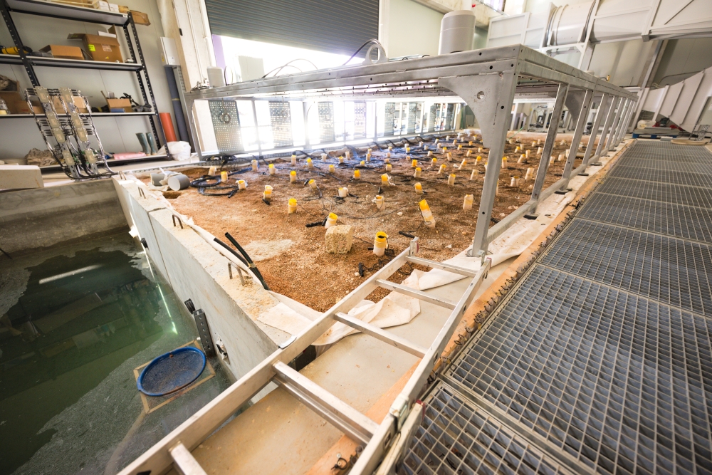
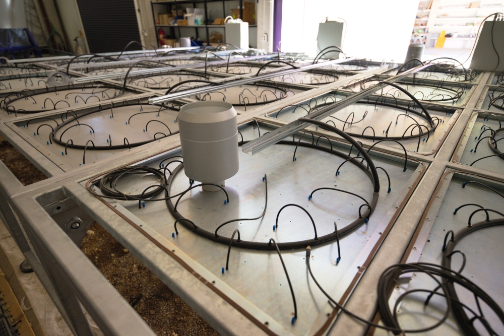
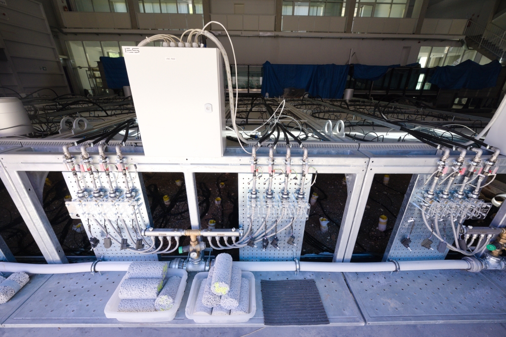
The team then travelled outside the city of Split to visit the Specialized Laboratory Unit ‐ Hydrotechnical Laboratory headed by prof. dr. sc. Hrvoje Gotovac. In the large hangar space, the head of the laboratory showed the team around a wind tunnel, several wave-generators and two analog models of karst. Those are large rectangular pits filled with mixtures of sand and gravel, surrounding pipe networks representing karst conduits. Monitoring the system behaviour in terms of flow and transport properties is achieved through a dense network of piezometres, arranged in grid like fashion all along the model. A series of valves located on the side of the model allow the precise control of recharge conditions in a grid-like fashion. In this way, the location, timing, duration and intensity of recharge over the model can be varied at will.
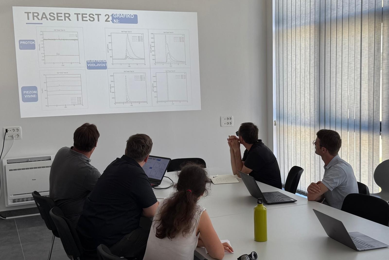
After this impressive visit, the team met in one of the adjacent rooms to discuss and compare the observations gathered from recharge and tracer experiments through the analog model, with the results of numerical modelling presented by Hrvoje Gotovac.
Island Vis: Korita pumping fields
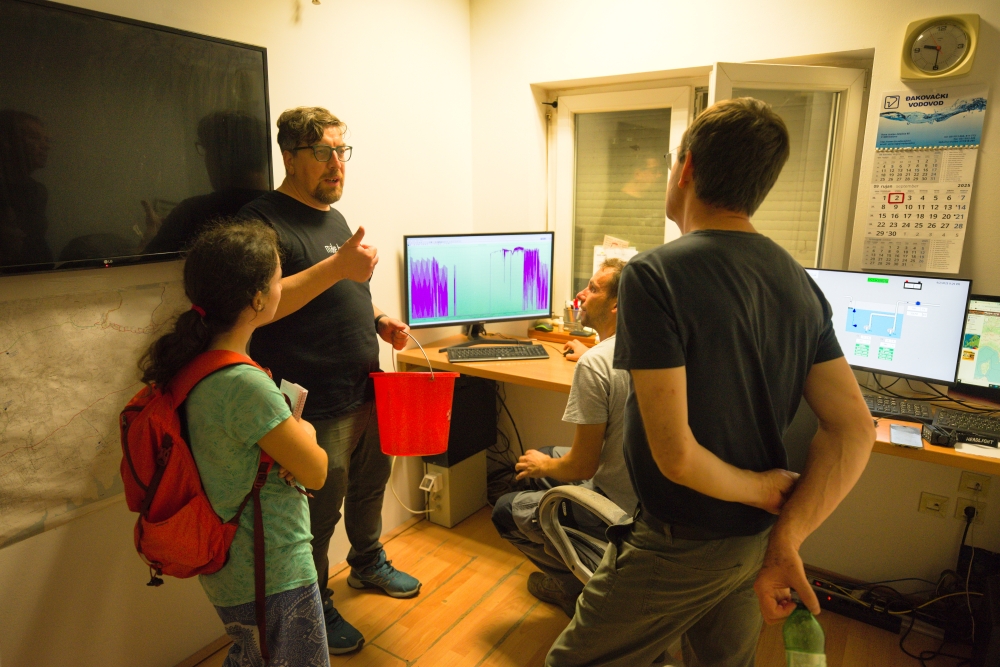
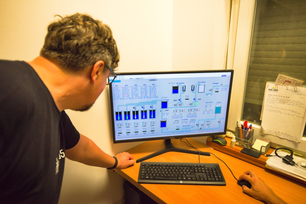
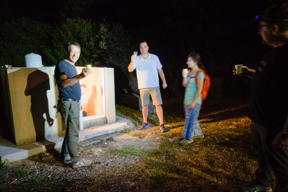
The team of five travelled by ferry to the eponymous town of Vis Island and enjoyed a guided tour of the Korita pumping station. This site, located in the central part of the island, is the most critical place where fresh water is tapped and distributed to the various towns and settlements of Vis. The guide, Ivan ___ is employed by the Vis water company, a public, not-for-profit utility company. After sampling water from borehole B01 for geochemistry, the team then “sampled” that same water and returned to Vis.
Pizdica spring and Blue Cave Biševo: Blue Cave
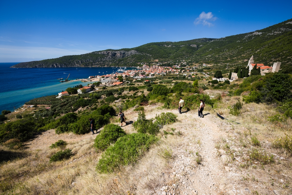
The next day, the team travelled to the town of Komiža, nestled snugly in the western bay of Vis Island. Along the Vis-Komiža road, road cut exposures of the island’s geology. The steep hairpin descent to Komiža in particular allows the transition from karstified carbonate strata to the so-called Komiža volcanic diapir complex to be observed.
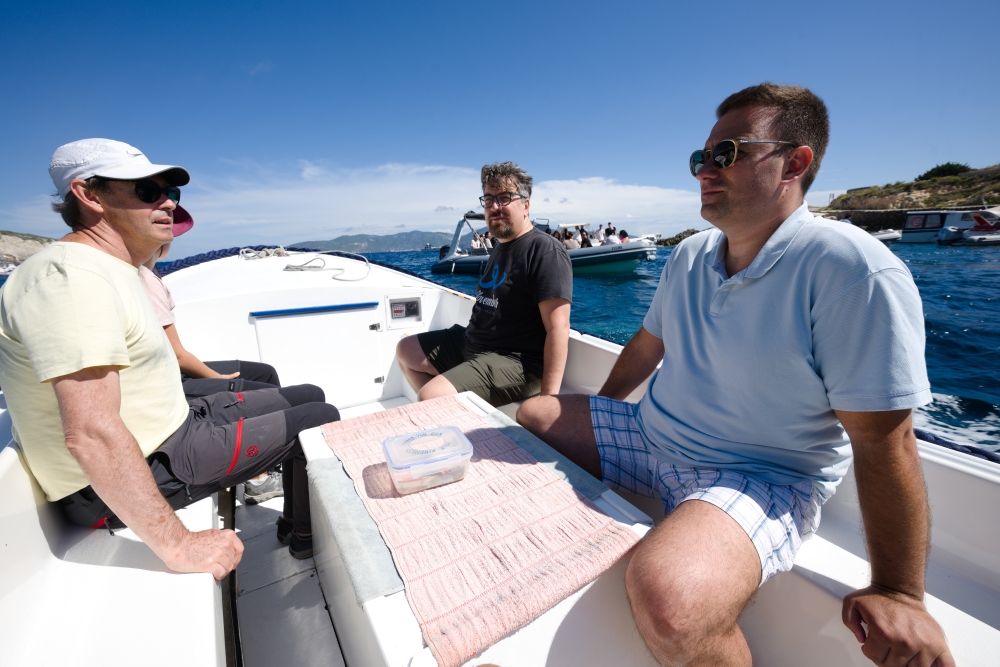
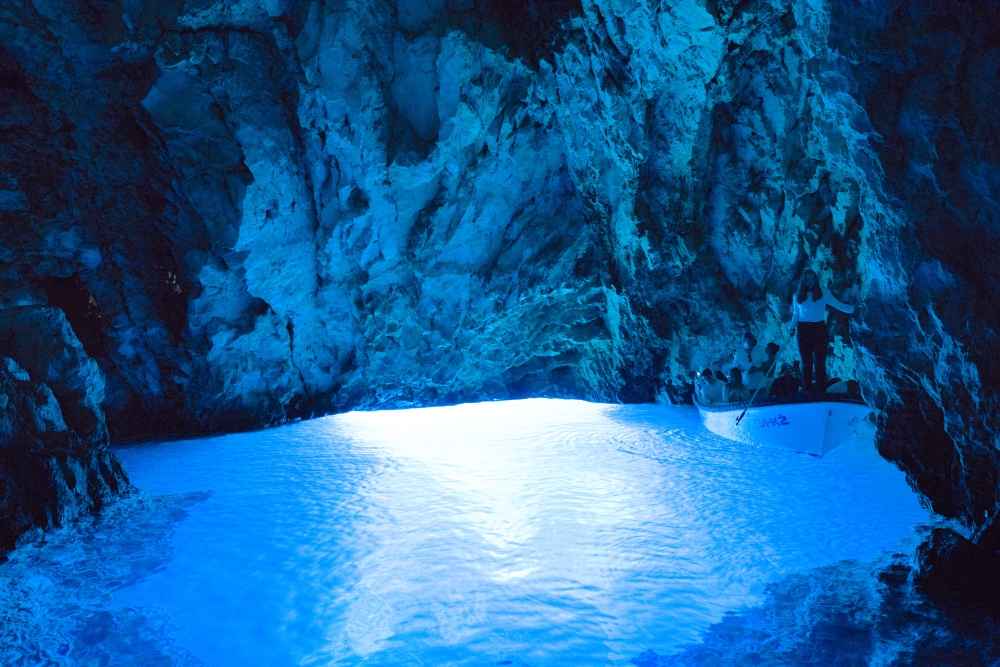
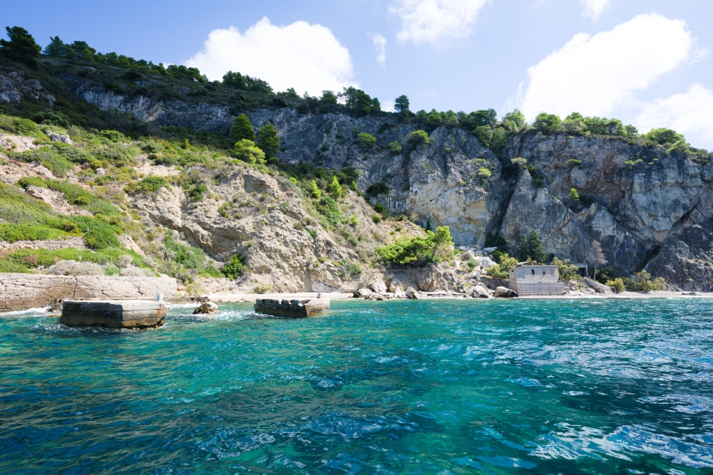
The team met with Stipe Vokjović (director) and Boris Ivanišević (technical director) of the water utility company Nautički Centar Komiža, at a café in the centre of town. Later, a transfer to the nearby Biševo island was arranged by the Nautički Centar Komiža. The objective was a visit to one of the main touristic attractions of the Vis archipelago, namely Blue Cave. This sea cave is a show accessible by boat and tours are operated by Visitor Centre Modra špilja – Biševo. Due to the cave’s small entrance, motorboats must rush into the cave by surfing the swell and may only then switch off the engine. The skipper then uses a paddle to move around the cave. The engine must be restarted inside the cave before the exit. The cave is accessible for tourism at only certain times of the day, due to the tides which can close off the boat entrance. The team was allowed inside twice to take pictures and document possible sites for the installation of a real time CO2 monitoring set-up to allow the amplitude of CO2 spikes in the cave air to be measured and relayed to the cave management for the safety of visitors.
Island Vis: geological modelling and the geopark
Ivo organised a meeting with local stakeholders of the Vis Archipelago geopark, namely with Lana Schmidt, its executive director and Nikola Nemec, its resident geologist. Once again, the team met in Komiža for an informal coffee, to present the project objectives, discuss the island’s geology in broad strokes, and generally get to know one another.
Prior to the trip to Vis, Tanguy and Philippe generated a simple geological model of the island, based on the published geological map. They used the GeoModeller software to constrain the main units and their stratigraphic or tectonic relationships. The 3D visualisation of geological units as volumes, and its potential use as didactic tool for the general public was mentioned, with the idea of making it available as a 3D prop in the geopark’s museum.
Island Vis: caving and scanning a local cave
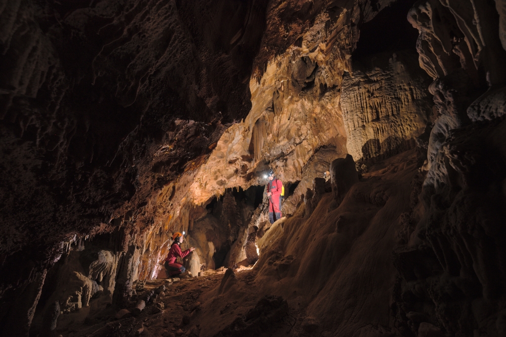
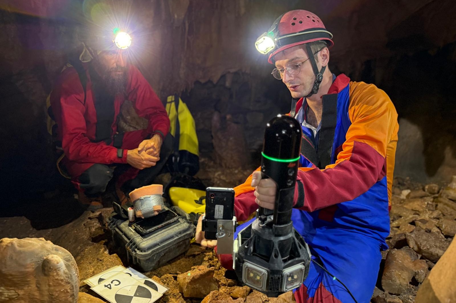
The Sea to Summit project aims to expand the monitoring of recharge dynamics in the upper layers of the karst on Vis island. To this effect, a team composed of Tanguy, Philippe, Domitille, Ivo and Nikola met up with local speleologist Slaven Cvjetković – Head of Section for the Vis and Hum caving club. The aim was to visit two easily accessible and shallow caves, in which infiltration rates could be monitored. These first visits included photographic documentation of possible drip sites as well as one detailed LiDAR scan of Tonki Rot cave (locally: Spilja od Tankega Rota). Capturing the accurate geometry of cave ceiling relative to the surface and nearby fractures is important for delineating the areas which contribute to the monitoring site.
The full workflow for processing the point cloud includes:
- georeferencing using a network of separately surveyed targets
- cleaning noisy points from the survey due to operators in the field of view of the scanner
- reconstructing a trianguled mesh as a model for the wall surface
- producing plan views and sections of the cave for speleogenetic interpretations
To address the first point, Domitille, Philippe and Tanguy measured the network of targets using a DistoX and cave phone setup, while Slaven carried out the dynamic LiDAR scan in 11 separate scenes.
Conclusion
The team left Vis by ferry and returned to Split. The following day, at the airport, Philippe, Tanguy, Ivo and Toni discussed a list of actionable items for the continuation of the project.
- integration of upcoming project members and potential doctoral student exchanges between Croatia and Switzerland
- analysis of the water samples chemistry
- organisation of the next online meeting
- processing of LiDAR scan to help design a discharge / drip rate monitoring station at Tonki Rot.
- analysis of borehole head timeseries, specifically between boreholes during daily pumping
- organisation of the next in-person project meeting in Switzerland
- identification of possible exchange and experiments at the SLU in relation with karst projects
The success of this field trip rested entirely on the excellent logistical support and organisation by Toni and Ivo, in particular with respect to the many new connections with local actors which they helped build during the week.
Outreach
Domitille continued her travels around Dalmatia after Tanguy and Philippe left, and took the ferry from Split to Hvar and back. Rather serendipitously, on the return journey, she was interviewed by regional news and had the opportunity to talk about the week gone by.
Domitille Dufour: “Vis residents need to educate tourists better about water consumption…”
Written by Stjepan Mijat Zaninović, published 8. September 2025 - 07:35 for Slobodna Dalmacija, translated excerpt below.
The girl is from France. She is 25 years old, working on her doctorate, and we interrupted her in her diary. She said she was writing for herself so she wouldn’t forget what she was doing…
We were curious about what she was doing…
“I only arrived on Hvar yesterday morning. I went swimming, hiking, I visited the peninsula (Kabal). I also went to Stari Gradsko polje to see some of the ancient fields.” - said Domitille Dufour.
She also said that this was her first time in Croatia, and we were curious about how she chose our beautiful country.
“At first it was for work, now it’s for pleasure. First I spent a week with my doctoral dissertation supervisor,” said Domitille Dufour, a young woman who will be a doctor at 29.
We congratulated her on her intelligence and diligence, and she mentioned that her supervisor is collaborating on a project with the University of Split. They are working on research and water conservation on Vis, the only central Dalmatian island that is not connected to the mainland by pipes because they have enough of their own water sources. We asked what the doctorate is about and found out that Croatia is at least in some ways the same as Switzerland…
“My doctorate will not be about this project, but about Switzerland, but I gained valuable experience here because both there are limestone, karst environments, porous soil through which water passes, similar caves…” - we could feel that Domitille knew what she was talking about, so we wanted to find out how she would describe her job to a layperson…
“I research springs and record data. For example, how much water there is, what is the quality of the water. I want to be able to see where the water comes from to the spring. If it is rainwater, how long after it rains does it take for the water to reach the spring. And with climate change and a lot of tourism, the question is whether there will be enough water in the future.”
We were already starting to worry, so we asked her what her predictions were for the island of Vis and its water.
“The project is just beginning, it’s not finished. It depends on how tourists use water. If they continue to use a lot, there will be a problem one day. You can’t increase the number of people and have the same amount of water.”
Hoping to get some kind of lifeline, we asked what we could do to save water…
“I think it’s important to explain to people that water comes from the island and that the amount is limited. Because the average tourist doesn’t know that. They just turn on the tap and the water flows. That’s great, but people don’t always know that everything has its price and that the amount of water is limited. I think the key is better education, especially for tourists who come for a day or two. They’re not aware of the value of water and act as if it’s infinite…” - said our other interviewee, the future Dr. Domitille Dufour.
Our conversation was overheard by Aunt Sandra, who was still sitting at the same table, and she added that the use of pesticides is a big problem for water, especially in karst areas. The expert from France agreed, and we left them to exchange experiences and good energy…
It only took us one step to reach the next person. At the next table sat a blonde, tanned girl who we thought was American. It turned out she wasn’t…
Enjoy Reading This Article?
Here are some more articles you might like to read next: